Logistics centres/warehouses
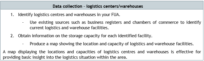
The most consistent transport flows typically originate from hubs such as intermodal terminals, ports, and warehouses. Identifying these hubs is relatively straightforward. However, determining the destinations of freight from these hubs is more challenging and cannot be easily resolved with statistical data alone. Nevertheless, information on logistics centres and warehouses can provide a starting point for a better understanding of freight transport destined for urban areas. Data sets on logistics centres and warehouses should include their locations displayed on a map, as well as the capacity of each facility.
By understanding the locations of logistics centres and warehouses, along with their handling capacities, it is possible to predict the pressure on the surrounding road network. Using the capacity of a hub as a variable, it is possible to estimate where goods are likely to be distributed. For example, a cold-storage warehouse will almost certainly supply grocery stores and restaurants, whereas a parcel fulfilment centre will predominantly serve residential areas. Such a map, showing logistics centres and warehouses and their capacities, can assist local authorities when considering infrastructure interventions, spatial development, and issues related to urban freight.